Model Domain and Resolution
After the data assimilation process, the initial conditions are ready for the forecast model. There are two types of forecasting models: global and limited-area models. As the name indicates, global models encompass the entire Earth's atmosphere. Global models are required when making forecasts beyond a few days, as weather patterns in one part of the world will eventually affect weather patterns in another part of the world.
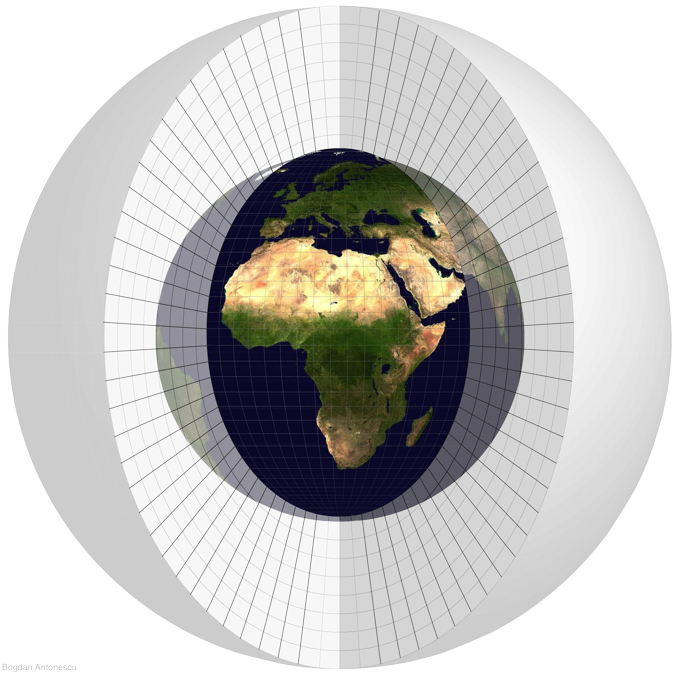
(Image courtesy of Bogdan Antonescu, University of Manchester).
ManUniCast is the other kind of model, a limited-area model. Limited-area models may not be able to make long-range forecasts, but they can make forecasts for a smaller region with more detail.
We call the level of detail that a model can forecast its resolution. For example, ManUniCast has a larger domain that covers the North Atlantic Ocean and most of Europe. Weather features predicted by ManUniCast are painted with a broad brush stroke. Individual weather features such as precipitation regions are apparent, but they lack a lot of detail.
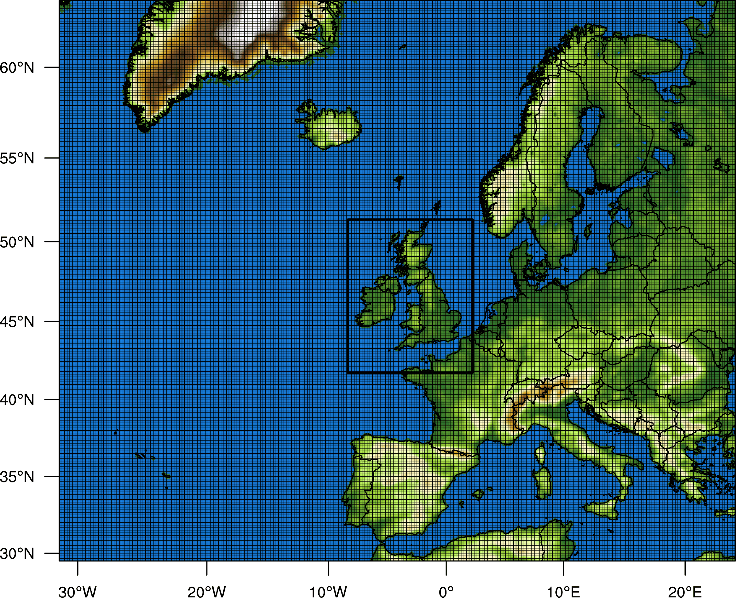
On this domain, ManUniCast has grid points every 20 km in the north–south and east–west directions, which allow us to forecast features 100–150 km in size. (It takes at least 5–8 grid points to resolve a feature. Thus, the terms grid spacing and resolution should not be used interchangeably—they have different meanings.)
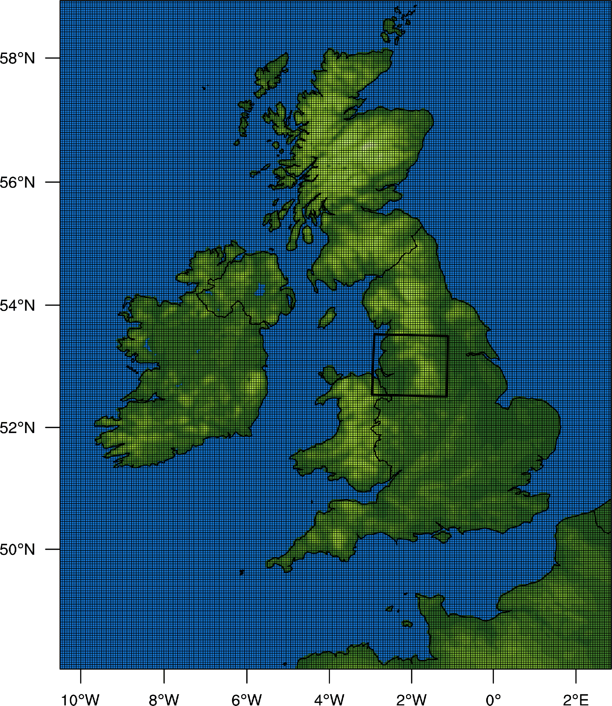
ManUniCast also produces forecasts for weather on a smaller domain centered over the United Kingdom and Ireland. This domain is composed of a grid every 4 km in the horizontal. Thus, the 4-km domain allows us to forecast features 20 to 30 km in size.
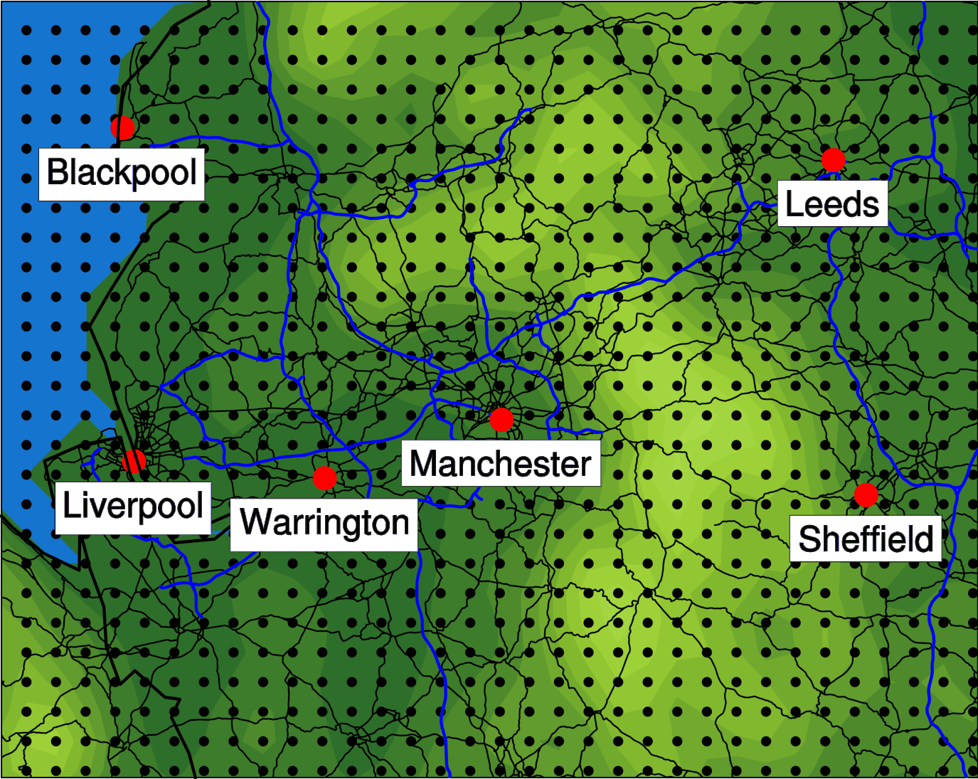
To illustrate how the grid spacing looks, consider the grid points every 4 km across northwest England. Manchester lies close to one grid point, with Warrington a mere 6-7 grid points away (24-28 km), which is about the scale of weather features that can be resolved in the ManUniCast.
Typically, global forecasting models can have horizontal grid boxes 20–30 km on a side. Limited-area models have grid spacings as small as 1–4 km.
The resolution also pertains to the number of levels in the vertical. ManUniCast has 45 levels up to heights of 50 millibar (about 20.5 km). In the vertical, the levels are usually concentrated near the ground because we want to forecast the weather close to the ground (where people live). Models may have more than 100 levels with some global models having levels as high up as 80 km!